

The City of Houston Stormwater Master Plan was developed to provide a comprehensive and reliable baseline for flood risk evaluation and planning. Substantial time and effort were committed to developing and validating technical guidance on the software, methods, and assumptions for developing the city-wide models. This effort was critical to ensure that the models and results are technically sound and provide the appropriate data and detail for future planning efforts.
Program Overview
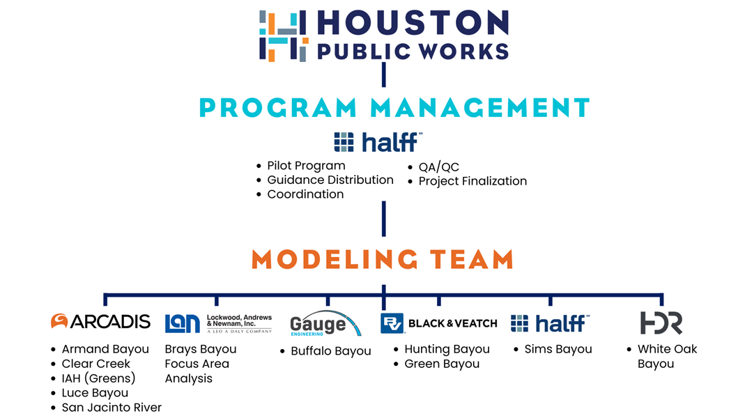
Project Team
The City of Houston selected a diverse team to complete the multi-year modeling effort. The city served as the project manager and provided study vision, grant management, and general oversight of the project and deliverables. Halff served as the program manager, conducting a pilot program and overseeing all technical aspects of the project. Halff ensured all deliverables met city standards. Six teams were then selected to model the various watersheds throughout the city.
Partnerships
The Stormwater Master Plan was funded through two partnerships: one with the General Land Office (GLO) and one with the Texas Water Development Board (TWDB).

The program management, pilot study, Sims Bayou, and focus area analysis were funded through Flood Infrastructure Funding (FIF) provided by the TWDB. These portions of the study were completed per TWDB standards, including performing monthly updates with the TWDB staff and adhering to reporting guidelines.
The modeling of all the watersheds, with the exception of Sims Bayou, was funded through the Community Development Block Grant Mitigation Program (CDBG-MIT) obtained through the GLO. These portions of the study were completed per GLO standards, including meeting several completion checkpoints, providing regular progress reports to GLO staff, and adhering to reporting guidelines.
Project Schedule
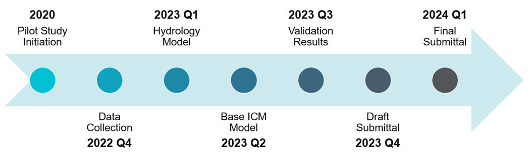
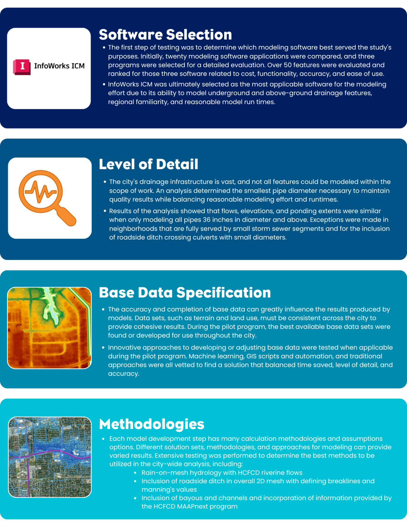
The Stormwater Master Plan was initiated in 2020 with the start of the pilot program, which Halff completed. This study involved analyses and testing to determine the best software, level of detail, base data, and methodologies to be utilized in modeling the entire city.
After substantially completing and documenting guidance resulting from the pilot study, modeling teams were engaged to begin analyzing all watersheds within the City of Houston. Several key checkpoints were completed over the next two years, with partial submittals and quality checks at each stage. Detailed information regarding the project checkpoints can be found under “Quality Review.” At the beginning of 2024, the Modeling Teams completed their effort to develop comprehensive, city-wide models.
Project Startup
Pilot Program
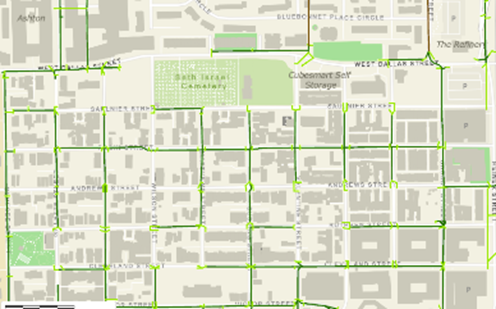
Before initiating the full Stormwater Master Planning effort, Halff performed a pilot program for a portion of the Sims Bayou watershed. The program aimed to outline the technical requirements for the city-wide effort and identify solutions to potential modeling challenges. A fifteen-square-mile area in the southwestern portion of the watershed was selected due to its diverse representation of land uses, drainage systems, roads, and terrains. Each step of the model development process was analyzed using this sample study area as a test case to develop thorough guidance to be applied city-wide.
White Papers
As a result of the pilot study, the city established modeling guidance via a collection of technical white papers, drafted before and throughout the modeling stage. The white papers were updated as necessary throughout this period in response to practical use cases and input from the modeling team. The goal was to ensure uniform modeling methods and criteria across all watershed groups.
Data Collection
Information was provided from various sources and then modified as needed for model development. The data collection white paper outlined the process for obtaining and editing the baseline data used for stormwater modeling. The paper included recommended processes for manual adjustments to storm sewer data to account for inaccuracies where field reconnaissance was used.
Naming Conventions
Consistent nomenclature was necessary to provide the city with clear documentation and information for all studied watersheds. The white paper outlines the required naming conventions for model components in each model.
Hydrology
NOAA Atlas 14 rainfall depths were applied for all models per city criteria. The hydrology white paper presented the hydrologic methods used for the models.
1D Model Development
Storm sewers, culverts, bridges, and unstudied channels were modeled using 1-D calculations to evaluate flow, water surface elevations, and overall capacity. The 1-D model development white paper defines what systems should be modeled using 1-D hydraulic capabilities.
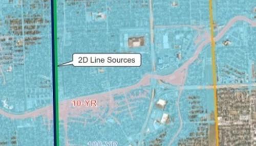
2D Model Development
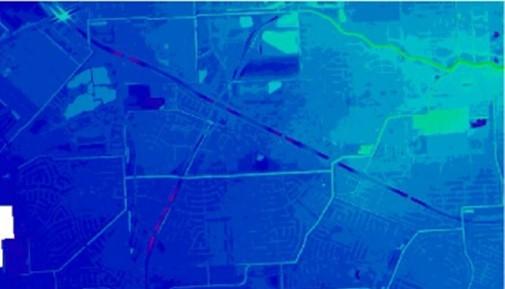
Due to the city’s flat topography, there is a higher potential for significant stormwater overflow into neighborhoods and streets. 2-D modeling can more accurately capture shallow flow patterns over flat surfaces. The 2-D model development white paper outlines where 2-D analyses are required for the modeling effort.
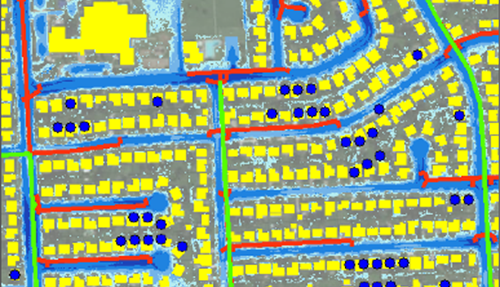
Roadside Ditches
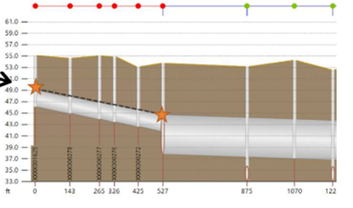
There are approximately 2,500 miles of roadside ditches within the city limits. The roadside ditch white paper outlines what approaches were to be used in modeling roadside ditch networks within neighborhoods and along roadways within the city. Multiple modeling approaches were tested alongside a fully detailed model to identify the approach that best mimics results from the detailed model, while balancing modeling effort and simulation time.
Boundary Conditions
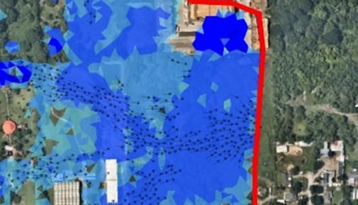
Boundary conditions are set within the model to mimic the watershed-wide response on a truncated area within the watershed. The boundary conditions white paper summarizes the approach to establishing the upstream and downstream elevations and flows for each model limit.
Validation
The models developed for each watershed within the city require validation with historical storm events to obtain confidence in the model assumptions and results. The validation white paper describes the steps for model validation, including data, rainfall, simulation, and results. It also includes information on when models would be considered validated based on meeting particular criteria or metrics.
2D Flow Exchanges
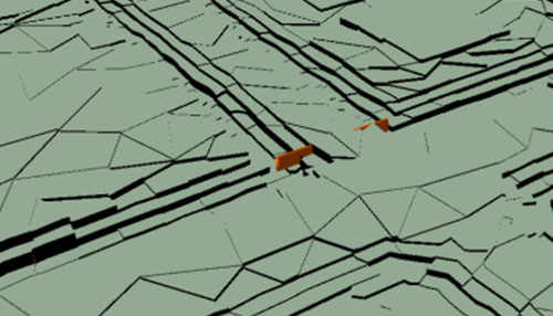
The hydraulic models developed for each watershed consist of a series of small models to be more manageable with model development, run times, and future use. Due to the model truncation, there are instances where these models will interact with each other outside of the HCFCD-studied bayou or channels. The 2D flow exchanges white paper describes the recommended process for conveying flow between adjacent models.
Coordination
Given the size of the Project Team and the scope of the study, constant communication and coordination were necessary for the study to be completed successfully.
Workshops
Regular progress meetings were held between all teams and the city to convey updates and discuss modeling challenges. The city and Halff also hosted three workshops that included the entire project team to discuss guidance and foster collaboration across the different modeling teams. The workshops covered the initial white papers and project management approach, updates and the validation process, as well as modeling lessons learned along with the project closeout.
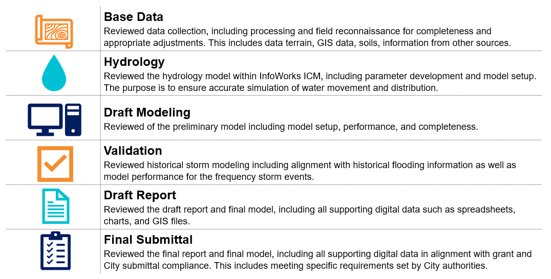
Quality Review
Quality control was provided both at the modeling team level as well within the overall program. The city conducted six checkpoint reviews for each watershed to confirm model quality and adherence to city guidance documents and typical modeling standards.